
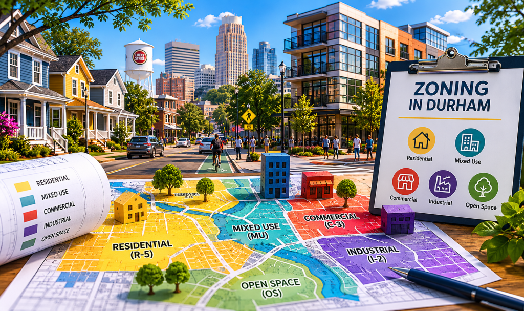
In the City and County of Durham, zoning serves as the primary regulatory mechanism that dictates how land is utilized and what the physical environment looks like. Every single property within the jurisdiction is assigned a specific zoning designation that controls what is allowed to be built on that land. These designations are not merely labels; they are legally binding instructions that govern the use of the property—whether for a home, a business, or a park—as well as the dimensions and placement of any structures. Specifically, zoning rules determine building height, width, and setbacks, which are the required distances a building must sit from the street or neighboring properties.
Understanding Durham’s Zoning Map
The location and boundaries of these districts are maintained on the Official Zoning Map within the local geographic information system (GIS). Durham’s current zoning framework is divided into Residential, Nonresidential, Planned, and Design Districts. For instance, Residential Districts range from low-density areas like Residential Rural (RR), which can require up to three-acre lots, to more compact areas like Residential Compact (RC), designed for development near transit. Nonresidential Districts include Industrial zones for manufacturing and Office and Institutional (OI) districts, which accommodate schools and government offices in a manner compatible with neighborhood contexts.
Durham’s Land Development Code
Under the proposed modernization of these rules, known as the Land Development Code (LDC), new zoning districts were drafted to allow for a wider range of housing types. This includes expanded flexibility for duplexes, townhomes, and small-lot housing in areas that were previously restricted to single-family homes.
Zoning and Environmental Protection in Durham
Zoning also plays a critical role in environmental protection. The rules mandate how many trees must be preserved or planted during development, often requiring specific species native to the North Carolina Piedmont region. Developments must also comply with “Screening” and “Buffer” standards, which use canopy trees and shrubs to separate higher-impact uses from residential areas. For properties located near sensitive water sources, Watershed Protection Overlays impose even stricter limits on lot sizes and land disturbance to protect water quality.
Ultimately, zoning is about more than just buildings; it shapes neighborhood character, housing affordability, and who is able to live in a growing city. If a property owner wishes to build something that does not align with their current rules, they must seek a Zoning Map Change, commonly known as a “re-zoning”. This process involves a public evaluation to ensure the proposed change aligns with Durham’s long-term vision and the goals of the Comprehensive Plan.
Keep learning. Stay informed.
Durham is changing rapidly. Explore this website to learn more about the issues shaping Durham’s housing future, and then stay up to date on the latest housing tools, zoning updates, and development facts that impact our neighborhoods. Sign up for our mailing list to get clear information delivered straight to your inbox.